Hi everyone,
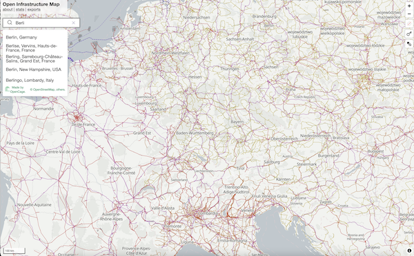
The great thing about OpenStreetMap is the insane wealth of data in the database. And yet, at the same time, one of the most frustrating things about OpenStreetMap is the insane wealth of data in the database. There is so much there, it is impossible to show it all on a single map. Which is where fantastic projects like Open Infrastructure Map come in. They render only a subset of data on the map, in this case the world’s physical “infrastructure”, things like power generation and distribution.A fascinating alternate view of the world around us.
We were recently contacted by Russ Garrett, leader of the project, asking if we could provide geosearch on the map and thus making it easier for users to quickly jump to their desired location.
We’re delighted to share that we now support Open Infrastructure Map with geosearch free of charge.
For anyone who wants to learn more about Open Infrastructure Map, a good starting point is our interview with Russ Garrett from a few years back (part of our long-running OpenStreetmap interview series).
And of course we would be delighted to work with you if you need a geosearch box on your map.
Happy geosearching,