Hi everyone,
Last September we went live with a series of guides to all aspects of geocoding. The response has been positive, and we see it has helped users of our service - especially those who are new to geocoding - better understand the issues involved and complete their projects more quickly.
Slowly but steadily we’ve been adding to the list of guides. I’m delighted to announce that in the past few weeks we rolled out two more:
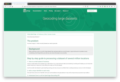
First up, we’re written a guide to geocoding large datasets. We think this guide will especially benefit customers who come to us with datasets of more than 5 million addresses or locations. Working with data volumes like that presents its own challenges, particularly for people new to volumes of that size. Hopefully our checklist of considerations can make the process less challenging.
Secondly we’ve published a guide (with javascript code example) to geocoding images, which is a surprisingly common use case.
We welcome your feedback to these and all of our other guides, just as we welcome ideas for new topics.
Happy geocoding,