Hi everyone,
after a lengthy beta period we are pleased to officially announce the launch of our spreadsheet geocoding service.
Over the last months many of you have tested the service (thank you!) and we have fine-tunded things a lot. Both the actual geocoding, but also the usability of the service.
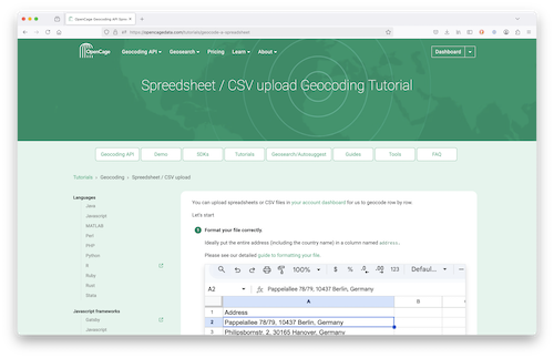
Based on your feedback we’ve recently entirely revamped the detailed tutorial.
You can use the new service in your OpenCage account dashboard, in the “Geocodng Spreadsheets” section. Free trial user can upload spreadsheets of up to 100 rows, while customers can upload files with up to 10,000 rows. We support many different file types, of course Excel and CSV, but also many more.
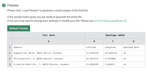
As always, how well we are able to geocode your data depends greatly on how well you can format your data. Please see our guide to spreadsheet formatting with examples of common mistakes and misunderstandings.
The launch is a great milestone, but the work on this service will continue (just as it does on the geocoding API in general). In that spirit, we ask that you please keep the feedback coming.
Happy geocoding, whether via our API or by uploading a spreadsheet
Ed