Hi everyone,
A few months back we announced
additional fields in our roadinfo annotation. Today I’m pleased to share that we continue that work by expanding the information our geocoding API returns about toll roads .
Previously we simply returned "toll" : "yes" if we knew the road to be a toll road. But this neglected the reality that many roads toll roads only for
certain classes of vehicle. Or the opposite case can be true: the road requires a toll for all vehicles, but with a few specific exceptions.
To represent this complexity we now potentially return an additional toll_details field in the roadinfo annotation if your request specified the optional roadinfo parameter (see docs for details of that parameter).
toll_details potentially has three different values:
-
excluded- a list of the types of vehicle or modes of transport that are not subject to the toll. -
included- a list of the types of vehicle or modes of transport that are included in the toll. -
operator- the name of the operator of the toll. This can be useful in regions with multiple toll operators some of whom support specific payment hardware .
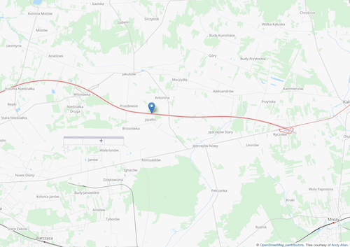
As an example here’s map showing a road in Poland at the coordinates 52.2043, 21.6907
An API request to those coordinates with the optional parameter roadinfo=1 set will now return
    "roadinfo": {
       "drive_on" : "right",
       "lanes" : 2,
       "maxspeed" : 140,
       "oneway" : "yes",
       "road" : "Autostrada Wolno\u015bci",
       "road_reference" : "A2",
       "road_reference_intl" : "E 30",
       "road_type" : "motorway",
       "speed_in" : "km/h",
       "surface" : "asphalt",
       "toll" : "yes",
       "toll_details" : {
          "included" : [
             "bus",
             "hgv"
          ]
       }
    }
thus we see that buses and HGVs (heavy goods vehicle) are subject to a toll.
The new field and the possible values are, as you would expect, explained in the API docs.
Of course before signing off I need to remind you of the key caveat - our road information comes from crowdsourced data sources like OpenStreetMap. It is not in any way “official” or “governmental” data. It may be wrong, incomplete, or out of date. Always drive safely.
Happy geocoding,