Today in our OpenStreetMap (OSM) interview series we are speaking with Matthew Whilden about his journey as an OSM mapper, his work supporting the community through the OpenStreetMap US Board, and his passion for creative mapping. From parks and playgrounds to hidden features discovered through geocoding and aerial imagery, Matthew’s story highlights the curiosity and community spirit that shape OpenStreetMap.
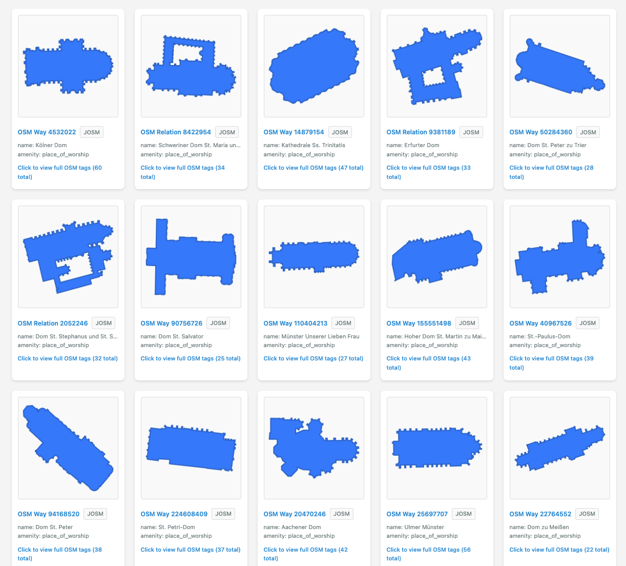
Here is an example of the cathedrals of Germany that we created using Matthew’s XofY tool.
1. Can you introduce yourself and tell us a bit about your OpenStreetMap journey? What first got you hooked on mapping?
I started adding parks and playgrounds when my daughter was born. Both as a simple pastime while she napped, but also a way to explore more things to do with her as she got older. Editing the map is a lovely way to learn more about the world.
2. You’ve mentioned using geocoding to turn lists of addresses into mapping adventures, for example tracking down drive in movie theaters. Can you walk us through your “OSM sleuthing” workflow and share some of your favorite discoveries?
For many years I was obsessed with odd things you can find on aerials (ex: jet sprint boat race lakes). Things that aren’t tricky to find, so long as you know, roughly, where to look. Many oddities will have someone keeping track of them with a list of addresses but for OSM, we can do one better! Geocoding with Nominatim or OpenCage makes for a great start to nailing down the exact locations of these things.
3. As a member of the OpenStreetMap US Board, what are your priorities for supporting the community? What opportunities and challenges do you see for OSM in the United States?
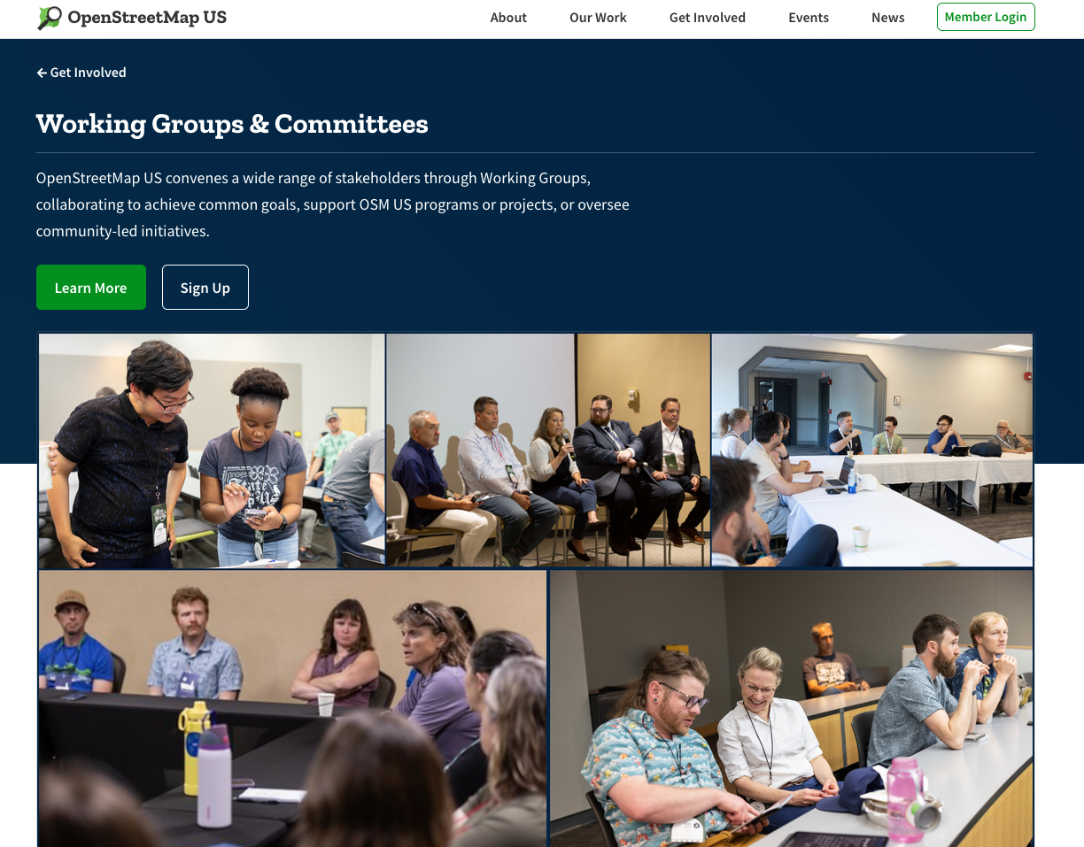
We can get further by all rowing in the same direction. Finding places where we can help sort out the common ground between mappers, app developers, imagery providers, educators, etc., is always a huge win. It’s why I’m so proud of the multitude of working groups we have and the great work we support through those groups.
Fundraising is always top of mind as a board member. I would love to be able to hire a few more technical staff and navigating the ever changing landscape of where memberships and grants are coming from continues to be a challenge.
4. A lot of people assume that mapping is just about adding roads or buildings. What are some of the more unusual or niche projects you’ve worked on, and why do those kinds of contributions matter?
I strongly recommend everyone have at least one really niche tag or type of map data that they are super obsessed over. Preferably something super weird. It’s largely all volunteer work so if we’re not having fun then we’re gonna burn ourselves out! We need more things mapped and ALSO more tools, tutorials, and hype videos to help folks stay engaged.
Here’s some things I’ve been obsessive about to help give folks a sense of what I mean:
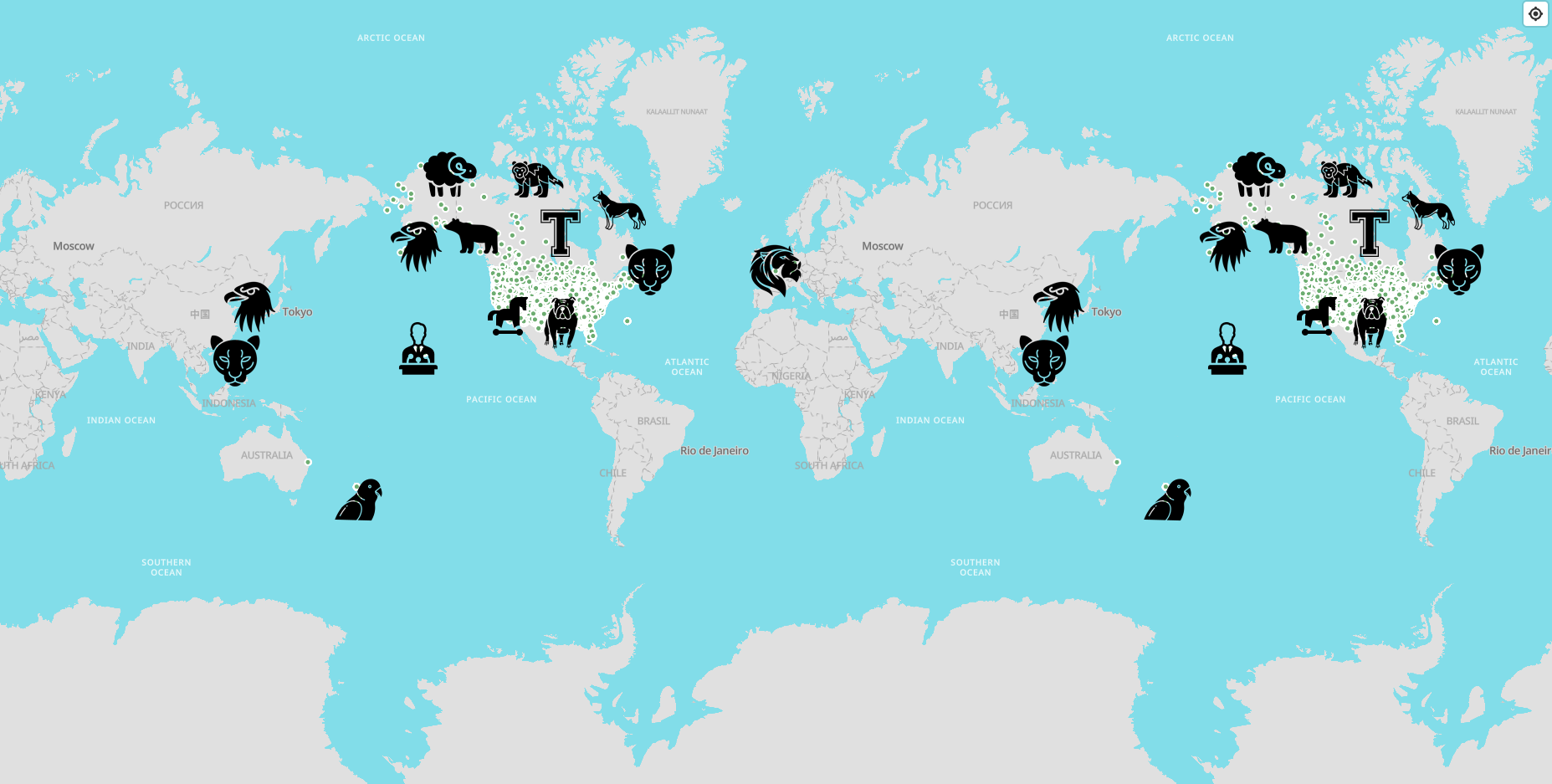
A map showing school mascots around the world.
I wrote a long tutorial for a JOSM plugin to help add sidewalk coverage.
I got really into learning about nautical beacon tagging and ended up making a whole website to view blinking lights.
I spent a few hours adding Wikidata tagging so folks could sort out the two different competing restaurants named Taco Time.
5. OpenStreetMap is powered by a global community of volunteers. What advice would you give to someone who wants to move beyond simple edits and start exploring, investigating, and contributing in more creative ways?
Honestly, see what other folks are doing. Join us in the OSM US Slack, the OSM World Discord, on the OSM specific Mastodon server, or any of the million other places mappers are meeting up and sharing ideas, insights, and schemes. I am constantly finding new ways of doing things, new tags, new tools, and inspiration from folks in these spaces.
6. OpenStreetMap recently celebrated its 20th anniversary. Looking ahead, where would you like to see the project and its community 20 years from now?
I’m very lucky to be part of a large and long running community group here at OpenStreetMap US. A huge part of the success is having dedicated and consistent staff that can grow in their roles without having to split time paying their bills with other work. I would love to see more local chapters grow and have support staff for local programs, regional outreach, specific tech needs etc. We have a lot of work to still do and the sky is the limit.
Matthew’s journey shows that mapping is about more than documenting what exists. It is a way to explore, learn, and connect with the world around us. His creative approach reminds us that every mapper can bring something unique to OpenStreetMap, whether through a niche interest or a community project. Thank you, Matthew, for sharing your story and for the energy you bring to the OSM community.
Happy mapping
Please let us know if your community would like to be part of our interview series here on our blog. If you are or know of someone we should interview, please get in touch, we’re always looking to promote people doing interesting things with open geo data.