Today in our OpenStreetMap interview series we speak with Volker Krause about Transitous, a community-driven, open platform for public transport routing. We explore the challenges of relying on proprietary transit APIs, the importance of open data for mobility, and how projects like Transitous are pushing the boundaries of what’s possible with OpenStreetMap and collaborative infrastructure.
1. Can you introduce yourself, your involvement with OpenStreetMap, and what first got you interested in open mapping?
I’m Volker, contributing to Free Software for more than two decades, mostly in the KDE community. As part of the work on the travel app “Itinerary”, I started using OpenStreetMap data, initially for indoor map rendering and indoor routing, especially in train stations. That’s also how I ended up as part of the team that started Transitous two years ago.
2. What is Transitous, and what motivated you to build it? What problem are you trying to solve with it?
The primary source for public transport routing for Free Software applications prior to Transitous were the proprietary APIs of public transport operators and agencies. Usage of those was tolerated at best, the APIs had to be reverse engineered and could change or even disappear entirely at any time.
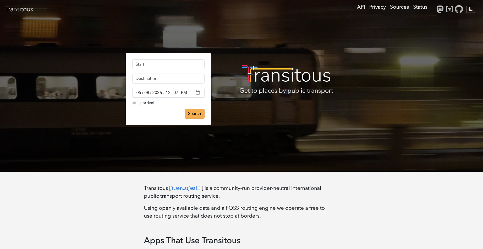
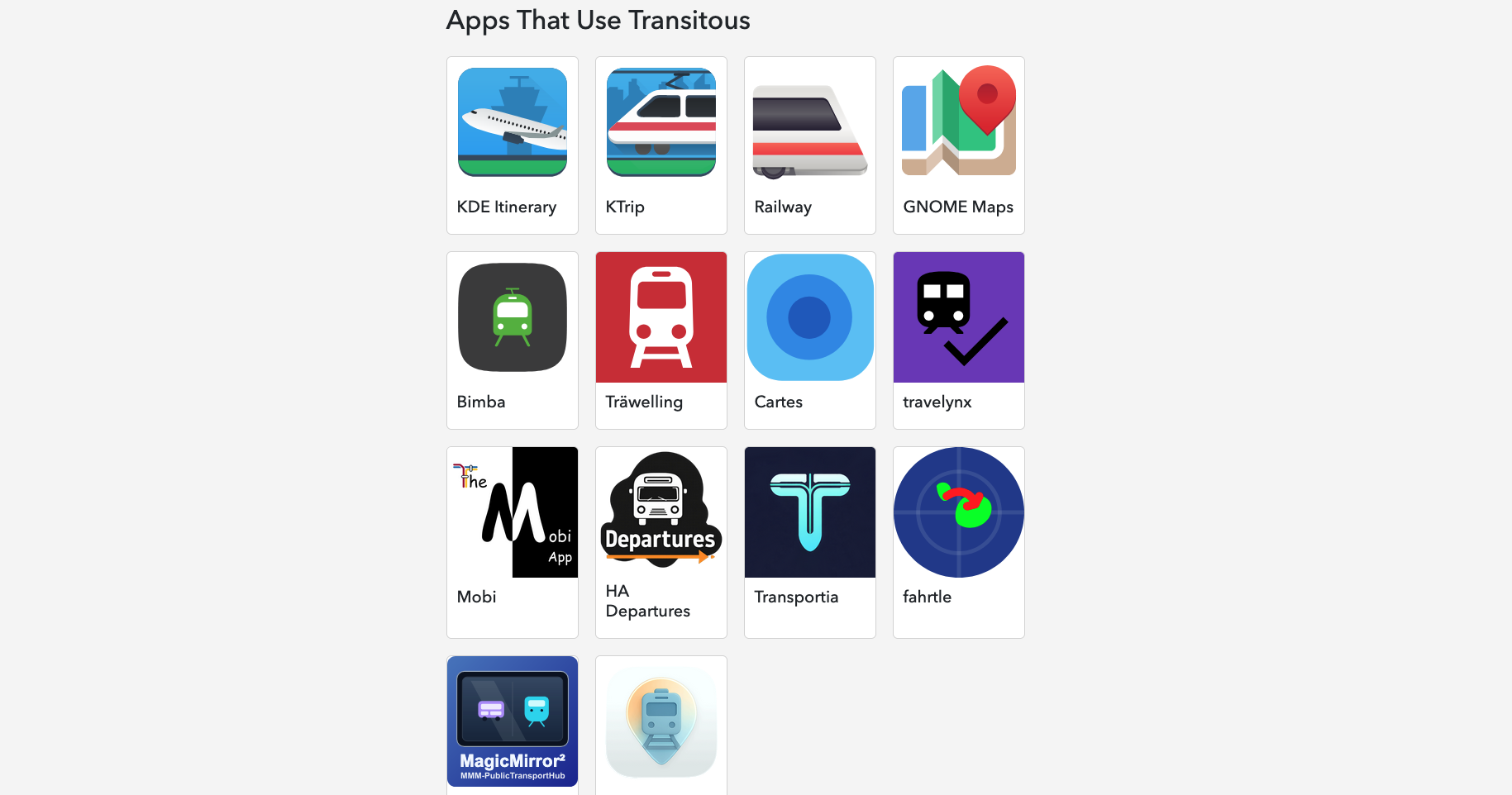
That’s not an ideal foundation to build applications on, so we wanted something better. Transitous is a public transport routing service built entirely on Free Software and Open Data. It’s run by the community as shared infrastructure for free applications needing access to realtime public transport data.
3. Why does it matter to build open, shared public transport routing infrastructure instead of relying on proprietary platforms?
What’s even worse than the technical limitation mentioned above is that these proprietary APIs only cover the regions an operator is active in, and only their own services. While understandable from their perspective, as a traveler I don’t want to have to manually find the right operators for the regions I’m traveling in, and to query multiple sources to get the full picture of all available options.
Transitous doesn’t care about regional nor operator boundaries, on the contrary.
Having no conflicting interests also allows us to look into things that are unlikely to be provided in proprietary services. One such example is transfer routing for wheelchair users, taking into account the realtime operation status of elevators. These kinds of features usually only appear in proprietary services in response to regulatory pressure.
Another example is ongoing work for taking empirical delay information into account, something that is also very unlikely to be done by operators trying to advertise their own services.
We’ll only get things like these if we as a community build them ourselves, and Transitous is a platform on which we can do this.
4. Where does OpenStreetMap data work well for routing today, and where does it still fall short, especially for pedestrians and public transport use cases?
The OpenStreetMap data generally works very well for routing, and the fact we just have to work with one single integrated planet-wide dataset alone is a massive help.
For routing transfers inside e.g. train stations there’s some aspects where improving the mapping would help though.
In multi-floor stations we heavily rely on the “level” tag. Its use and maintenance varies a lot across different countries. Also, none of the standard views on the OSM website visualize it in any way yet, which isn’t helping with this either.
When considering accessibility in routing it’s mostly about the level of detail. Technically it’s not a big difference whether you route for a pedestrian or a wheelchair user, but for the latter the result becomes useless if we miss just a single step somewhere. So every such barrier has to be mapped for this to work reliably.
5. What are the main technical and data integration challenges in building a cross-border public transport routing system using OpenStreetMap and open transit data?
For the public transport schedule data we don’t have the luxury of a single integrated dataset. There we are currently integrating more than 3000 data feeds. Those need to be properly aligned so overlaps don’t result in duplicates, and normalized so that you get consistent results everywhere.
Part of that is also realtime data that updates once a minute, and that continuously needs to be matched to the static baseline data. Given the rapid update frequency, this has to work fully automatic, without human review or intervention.
6. What could the OpenStreetMap and open mobility communities do to better support projects like Transitous?
While there’s of course always details in the data that could be improved, the collaboration with the OSM community works great.
Public transport operators actually providing their data (which at least in the EU is legally required), doing so with a decent quality, and being responsive to feedback to issues we find would help a lot though. How well that is done varies greatly unfortunately.
7. OpenStreetMap recently celebrated 20 years. Where do you see the project in another 20 years?
I’m sure OSM will still be around and be more relevant than ever. I find it very hard to predict how things will evolve though.
For example: Just three years ago a community-run public transport routing service with even just national-wide coverage was considered technically impossible with realistically available resources. Two years ago the assumption was that the best we could do is stop-to-stop routing in a handful of European countries. Recently our test server has demonstrated door-to-door routing from Berlin to Tokyo. Something that might seem infeasible today might just get implemented tomorrow.
One area in the vicinity of OSM that I’d like to see progress in and that today is still dominated by a few proprietary vendors is dynamic traffic data, i.e. anything from temporary road closures to traffic flow data. I hope we’ll have all that liberated as well eventually, maybe even a bit earlier than in 20 years.
Transitous demonstrates the power of open data and community collaboration in solving complex mobility challenges, from cross-border routing to accessibility-aware navigation. As Volker notes, the future of open mobility will depend on how communities continue to build and expand these shared systems.
A big thank you to Volker Krause for sharing his insights.
Please let us know if your community would like to be part of our interview series here on our blog. If you are or know of someone we should interview, please get in touch, we’re always looking to promote people doing interesting things with open geo data.