Hi everyone,
a brief post to let you know we have updated the data behind our NUTS annotation (NUTS is of course the EU’s Nomenclature of Territorial Units for Statistics) to the newest 2024 data.
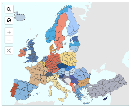
The European Statistical Office (Eurostat) publishes administrative divisions for all European Union countries (and EFTA countries, and some EU candidates)
Specifically with this update:
-
All data now updated to 2024 (with the exception of GB, see below)
-
Norway(NO) merged several regions in 2021, now they’re split again.
-
Portugal (PT) split statistical region ‘Lisbon metropolitan area’ into ‘Grande Lisboa’ (north) and ‘Península de Setúbal’
-
We now support the candidate country Kosovo (XK)
-
Minor boundary adjustments in other countries.
-
Since the United Kingdom (abbreviated in NUTS data as GB not UK) left the European Union, their regions were not updated in 2024. Until, in the fullness of time, the UK rejoins the EU, we will just keep the older GB NUTS data.
Learn more about the NUTS annotation (and all the others) in our geocoding API documentation.
Happy geocoding, whether you are in Europe or elsewhere!