Hi everyone,
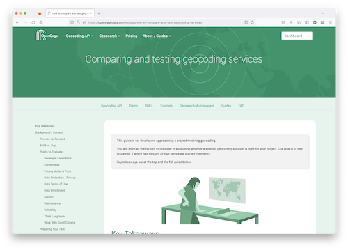
I’m pleased to announce we’ve published a Buyer’s Guide for Geocoding, a comprehensive guide to comparing and testing geocoding services.
Why did we write this? Well, again and again, over the years we’ve been approached by software developers or product managers tasked with a project involving geocoding, but without the relevant domain experience to adequately evaluate possible solutions and services. As a result they often look at a few obvious service attributes (price, for example), but totally overlook other critical, but perhaps non-obvious, service attributes (service reliability, for example).
Basically, our goal is to help developers avoid “buyer’s remorse”. There are few things worse in a complex software project than the words, “I wish we had thought of that before we started”.
The guide provides some brief background on geocoding, and then does a detailed dive into topics potential buyers should consider like service usability/developer experience, service correctness, privacy/data protection, support, terms of use, service reliability, pricing (of course), and others. We hope to give you the context so you can weigh each attribute in relation to your project, particularly if you are new to the subject of geospatial.
How important each topic is will of course depend on your skills and the needs of your specific project. As always in software development, the only real answer is “it depends”.
We hope our new guide helps provide a framework for deciding the best solution for your next geocoding project. Please have a look and let us know any feedback you may have.
Happy geocoding (after a comprehensive comparison of various services, obvs),
