We’re excited to launch our new OpenCage customer interview series! In these interviews, we’ll be talking to businesses using OpenCage Geocoding, exploring their projects, challenges and the many ways they’re putting location data to work. For our very first interview, we’re speaking with KeepTRACE, a French telematics company using geocoding to help businesses manage their vehicle and machinery fleets. Let’s find out more!
1. First, could you tell us a little about KeepTRACE?
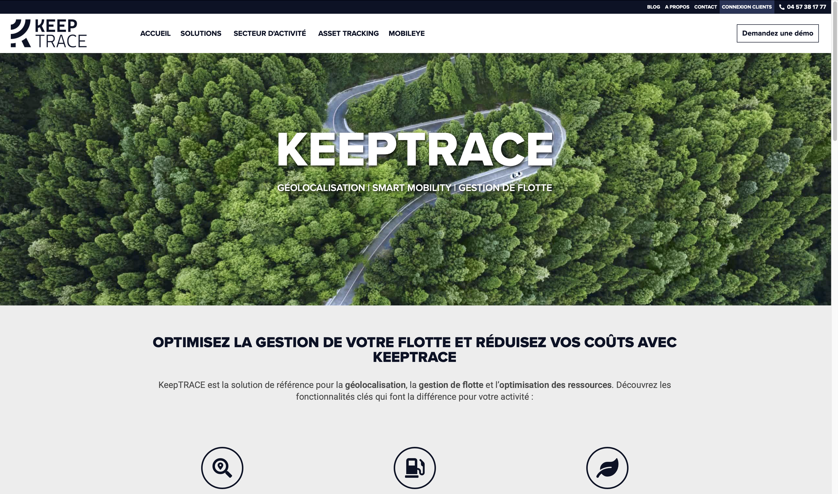
KeepTRACE is a French telematics company based in Narbonne, in the south of France. We equip vehicles and machinery with tracking devices and develop the software around them: web portal, mobile apps, reporting, alerting and APIs.
Our customers are companies that operate fleets, mostly in construction, transport, equipment rental, and field services, along with taxi firms and ambulance operators. Fleet sizes vary widely, from five vans to several hundred vehicles. Overall, we serve around 800 customers and about 15,000 vehicles.
Their most common expectations are very practical. They need to know where their vehicles and machines are, and to recover them if they are stolen, which is why our range includes concealed battery-powered trackers and remote immobilization. Beyond that, the main concern is cost control: fuel, idling, mileage, maintenance. Our aim is to bring everything together in a single interface, so in addition to GPS we handle CAN bus data, driver identification, tachograph files, manufacturer data for construction machinery, fuel cards and even traffic fines.
2. How does location data fit into your platform, and how do you use geocoding?
Everything we do begins with a position, but a latitude and a longitude are of little use to a fleet manager. What they want to read is “parked at the depot” or “left Narbonne at 8:12, arrived in Béziers at 9:05”. Reverse geocoding is therefore present throughout the platform: on the live map, at the start and end of every trip, in reports, in alert emails and text messages, in the mobile apps and in our APIs.
One detail we particularly appreciate: when a vehicle is moving, we request road information from OpenCage, so the result is the road it is traveling on and not the nearest building.
At our scale, calling the API for every position is not an option, so every result is stored in our own cache, which now holds hundreds of millions of addresses. The difficulty is that a vehicle never reports the same point twice, even when it parks in the same spot every night. Earlier this year we changed the lookup so that any cached address within roughly 5 meters is considered a match. On live tracking, the cache now serves about 96% of requests, and our daily OpenCage calls fell by about 78% almost overnight. None of this would be possible without the right to retain the results.
3. What originally led you to OpenCage?
To be candid, it was Google. In 2018 they overhauled their Maps pricing. The 2,500 free geocoding requests per day gave way to a monthly credit, and the price per request rose roughly tenfold. Since we geocode every trip and nearly every position we display, our costs were about to become unsustainable.
In 2019 we began caching addresses in our own database, and that autumn we evaluated alternatives. We moved to OpenCage at the end of 2019, so we have now been customers for about six years.
Our requirements were clear. We needed per-request pricing that was viable for a high-volume back-end workload, and we needed the right to store results permanently, since our entire architecture depends on the cache. Address quality in France and across Europe was good, and the API was straightforward, with the two options we rely on: address language and road information.
Since then, there has been remarkably little to report, which I mean as a compliment. Responses arrive in a few milliseconds, and we have never encountered a single quota or rate-limit error.
4. What have been the biggest challenges with geocoding and location data?
The first is volume. We receive millions of positions, and we had to define when two of them should be treated as the same place. The cache itself had grown so large that we rebuilt it this autumn and removed the duplicates, which reduced it from 99 GB to 52 GB.
The second is locations that have no meaningful address. A construction site, an industrial estate or a rural road often returns a result that is vague, or simply unhelpful to the customer. For that reason customers can define their own places, such as a depot or a job site, and those names generally serve them better than a street name would.
The most instructive challenge, however, was language. Our platform was originally designed for French. When we began working with a customer whose addresses are written in a non-Latin alphabet, OpenCage returned the street names correctly and our own database turned them into question marks. In the course of that investigation, we discovered that certain European names had been silently altered for years: Łódź, for instance, was stored as “Lodz”. We ultimately made the entire chain Unicode, through to PDF reports and text messages, and each customer now has an address language that is independent of the interface language.
5. What opportunities does combining location with other vehicle and equipment data create?
A position on its own conveys very little. Its value appears once it is set alongside other data.
CAN bus data gives us fuel level, consumption, and engine hours. From these we derive eco-driving scores, CO2 figures, and the cost of idling, and we can detect a drop in fuel level at a location where no refueling should take place. Driver identification tells us who was at the wheel, which proves valuable when a speeding fine arrives three weeks later and the driver must be named, or whenever any road incident occurs.
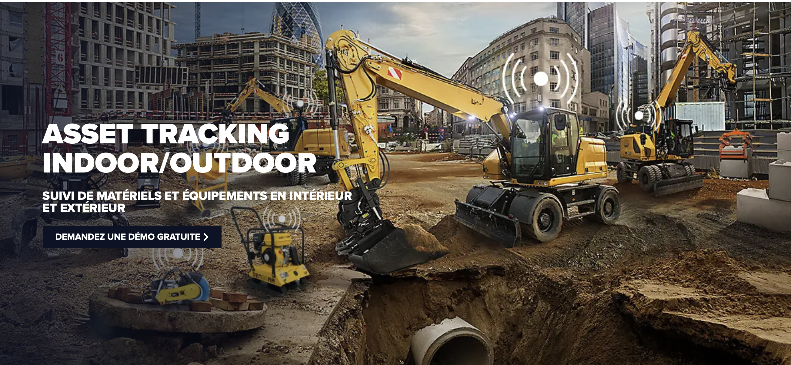
In construction, we retrieve manufacturer data for machines from Liebherr, Haulotte, Komatsu or Caterpillar through the ISO 15143-3 standard and present them alongside the vehicles we track ourselves. Engine hours per job site are then used for invoicing. For tools and non-powered equipment, we rely on Bluetooth tags: the devices in our vehicles detect the tags nearby, which lets us locate equipment that has no GPS of its own.
Ultimately, customers come to us with business questions. What does this vehicle cost me per kilometer? Is it genuinely being used? Could it be replaced by an electric one? Answering them requires all of that data in one place.
6. How are you thinking about or using AI?
So far, the most significant change has been in the way we work. We are a small team maintaining a platform with a long history. AI coding assistants help us modernize legacy code and document a very large database, and we deliver considerably faster than we used to. I believe this will reshape our industry. Software used to be the expensive component. As it becomes cheaper to build, what counts is the data you collect yourself, the trust customers place in you to look after it, and the pace at which you can deliver.
On the product side, we are exploring an assistant built into our portal. A customer could ask, in plain language, “which vans were on the Béziers site yesterday?” or any other fleet-related question, and receive an answer drawn from their own data. It would be read-only, it would respect each user’s permissions, and it would be hosted in Europe. Geocoding has a role here too, because a language model can do very little with raw coordinates. It needs addresses, place names and job sites to produce an answer that makes sense.
7. What’s next for KeepTRACE?
We are rebuilding our mobile app for fleet managers, for both Android and iOS. The new API that supports it went live in October.
We are also beginning to work with customers outside France, which explains the effort we devoted to non-Latin addresses this year.
A less visible priority is the 2G shutdown in France, which requires us to migrate older devices to 4G and LTE-M.
Regulation is another driver. Low-emission zones, fleet greening obligations and carbon reporting all depend on data that telematics already provides.
What I find most promising is that fleets are increasingly mixed, combining different brands, connected cars and machinery, and customers expect to see all of it in one place. With AI on top of that, they will be able to ask a question directly instead of building a report.
KeepTRACE is a great example of how geocoding and location data can become an integral part of everyday business operations. From tracking vehicles and managing costs to combining location information with equipment data and exploring AI-powered fleet management, their story highlights the value of reliable geospatial data at scale. Thank you to the KeepTRACE team for sharing their experience and for being an OpenCage customer!
Happy geocoding
If you would like to be part of our customer interview series, or know of a company we should interview, please get in touch.