After a bit of a break, we resume our interview series looking at OpenStreetMap communities around the world by speaking with Namitala Gertrude of OpenStreetMap Zambia.
1. Who are you and what do you do? What got you into OpenStreetMap?
My name is Namitala Gertrude managing director of TruDigital Technologies. I am a software developer, mapper and open data enthusiast. I got into OpenStreetMap when a friend of mine Geoffrey Kateregga introduced me to it and told me the importance of mapping. I then wanted to map my home town basically my primary school in Uganda. When I moved to Zambia I realized that the country didn’t have a lot of data especially OpenStreetMap, there were no shape files like in other countries. This made me start the OpenStreetMap Zambia community so that I train more people to contribute map data, organizations and government to start using OSM.
2. What would you say is the current state of OSM and the OSM community in Zambia?
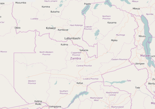
OSM Zambia has just been registered as local NGO in Zambia and the community is growing. Apart from the contributions of the local OSM community, there have also been other efforts, in 2015 there was a massive building import of over 260000 buildings for northern Zambia. The Peace Corps in Zambia are also using OSM tasking manager to map different parts of Zambia.
We need more contributors who are willing to collaborate. We are in talks with government so that they start using OSM as a central database for all geospatial data in the country. We are in the process of importing WASH facilities and continue to look out for open data that can be imported to OSM. The missing Maps mapathons are helping reach more new mappers. We are promoting training, capacity building and advocacy for Open Data especially which is shared under an Open Data Licence.
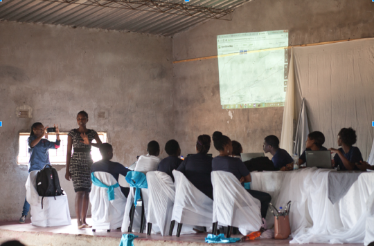
OpenStreetMap Training for the residents of Mtendere.
3. What are the unique challenges and pleasures of OpenStreetMap in Zambia? What aspects of the projects should the rest of the world be aware of?
The country is urbanizing and so there is a high density of buildings and different landuse this calls for learning different tags to be used. The roads also have to be tagged right. Our pleasure is to contribute and see to it that Zambia is mapped to detail. We have are grateful to the global Humanitarian OpenStreetMap Team (HOT) as well as OpenStreetMap Africa who are always available to support us.
We are currently crowd sourcing 6000 dollars to map public transportation and make maps of the four major big cities in Zambia. We need support from everyone to achieve this.
4. What is the best way to get involved? Are you looking for remote support or trying to get locals as your primary mappers?
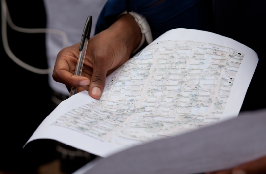
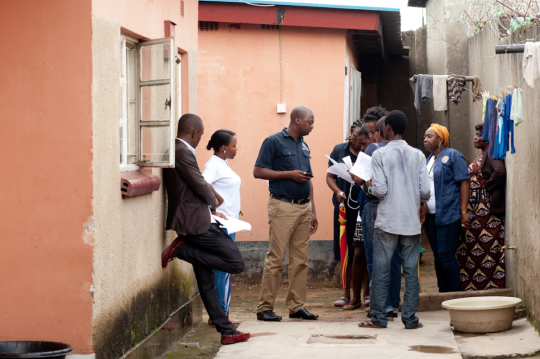
I would say that we need more people to contribute to the OSM Zambia project both remotely and locally so that more data for Zambia is captured. We have started putting tasks on the OSM Tasking Manager so we would request for more mappers help us to digitize and also validate tasks. Then the locals would add more specific data through ground surveys. We are also reaching out to organizations and government institutions that have data to donate to OpenStreetMap and to also start using OSM as their map.
We do have Facebook and Twitter pages and we are working on the website and blog. We want more people to like our pages and also send us their contacts to be added on the whatsapp group.
5. What steps could the global OpenStreetMap community take to help support OSM in Zambia?
The best way the OpenStreetMap community can do is to always help us map the different tasks we shall be putting up in future, connect us with different organisations we can partner with to grow the project and also help publicise OSM Zambia so that the world gets to know about our contribution.
6. In 2014 OSM celebrated its 10th birthday. Where do you think the project will be in 10 years time, both globally and in Zambia specifically?
In ten years many governments would have noticed the importance of OSM, businesses would be using OSM as their major data source because of the detail attached to it. Many developers will make more applications using OSM. This is because of the freedom associated with OSM. Data scientists will start using OSM to make more predictive maps. This will make OSM the most rich and strongest basemap to ever exist in the world. Africa will also start organizing “State of the Map Africa”
Many thanks for the fantastic update, great to read of yet another new community hitting critical mass. All good wishes to everyone working on OpenStreetMap in Zambia!
You can see all the Open Geo interviews here. If you are or know of someone we should interview, please get in touch, we’re always looking to promote people doing interesting things with open geo data.