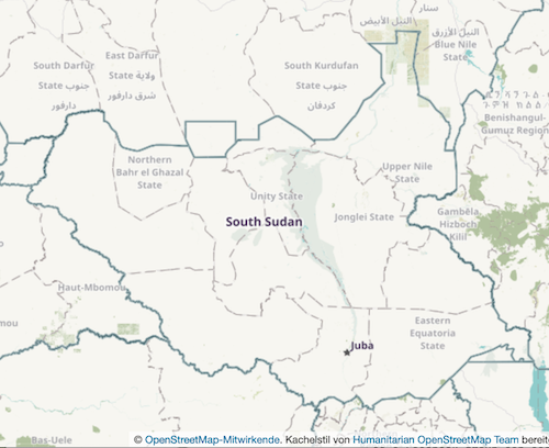
Our long-running OpenStreetMap interview series, in which we speak with members of OSM communities small and large around the world, continues in 2022! Today we share a discussion with Ronald Lomora of the OpenStreetMap South Sudan community. South Sudan is the newest country in the world, Ronald shares some of the unique experiences of mapping there.
1. Who are you and what do you do? What got you into OpenStreetMap?
I am Ronald Lomora, mostly known as Romeo, a refugee in Uganda but now based in Juba-South Sudan because of my involvement with OSM South Sudan. I am a podcaster, Radio Producer and open source advocate. I got involved in Openstreetmap in 2019 partially and fully in 2021 in an introduction and training from OSM Uganda, as part of a micro-grant to establish the OSM South Sudan community.
And since then I am super excited about opensource tools and how they can be used to solve community challenges, introduction to Openstreetmap served as a perfect solution to all the mapping challenges that faced the refugee camps and South Sudan at large as a country. And these inspirations and finally finding a tool to solve the local challenges got me into OSM.
2. South Sudan is the newest country in the world. Welcome! What would you say is the current state of OSM and the OSM community in South Sudan?
The OSM community is yet young as the country, it started in 2019 actively in the refugee camp with full legal registration in 2021, and hence the community is yet small but enthusiastic and ready to grow.
We work at the moment a lot with universities, and map-based companies to solve their in-company map challenges and as well country map challenges. We have trained over 40 students and got them to participate in our first mapathon, we are organizing our series of mapathons this year. With the hope of reaching and mapping out most features in South Sudan.
3. What are the unique challenges and pleasures of OpenStreetMap in South Sudan? What things should the rest of the world be aware of?
Since South Sudan is a post-conflict environment we have a serious security issue and misunderstanding of our work, most times mapping and droning can be extremely hard, since this is misunderstood easily by security personnel, but we work with the government to see that those issues can be avoided.
Juba and South Sudan as a whole is very expensive accommodation in a fairly decent hotel state at 70-100 USD which is not easy if you have a small budget to run events, the internet is extra because 3.5GB goes for 25USD so imagine all the participants. It’s quite expensive. We also have a challenge of the low tech level in the country, that affects our work, the participants that we shall need to train most of them are not ICT literate making it hard to train them. And we also lack funds, no support at the moment
4. What is the best way to get involved? Is there a regular meet-up? A mailing list? Where does the community meet online?
The community has a WhatsApp group that we meet and a telegram group, and we use this to coordinate a couple of our activities. Because of the different tech experience in my country, we can’t easily introduce slack and mailing lists cause they won’t effectively be followed since people here love quick messaging on WhatsApp.
5. What steps could the global OpenStreetMap community take to help support OSM in countries like yours?
1. By Participating in our mapathons 2. By aiding in training our members since we still lack the capacity to handle advanced mapping. So training on data visualization, use of QGIS and other tools, Drone technology. 3. By Supporting by encouraging and holding us up
6. This year OSM celebrated its 17th birthday, so we are well into the “teenager” stage of the project. But what will it look like when it “grows up”? Where do you think the project will be in 10 years time, both globally and in South Sudan specifically?
Globally I look at OSM achieving its goal of OpenstreetMap data being in more usage than now, OpenMap data being accessible and funded by Governments more than now. Communities like OSM South Sudan, mapping all the features of their countries on the map, to make the map more usable and relevant to their users. Governments and agents that have data to release the data to import into OpenStreetMap.
Thank you, Ronald. Congratulations to you and all the other members of the OpenStreetMap South Sudan community for all your progress over the last years, despite tremendous adversity. It is wonderful to see OSM growing in the world’s newest country. Keep up the good work. Anyone who is interested in getting in touch with Ronald can do so via the @OSMSouthSudan account on twitter.
Happy mapping,
Please let us know if your community would like to be part of our interview series here on our blog. If you are or know of someone we should interview, please get in touch, we’re always looking to promote people doing interesting things with open geo data.